Warnung
Warnungen
Art der Übung
Wandern
Einfach
1h50mn
Präsentation
Beschreibung
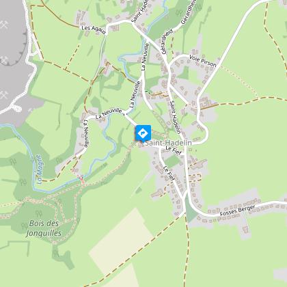
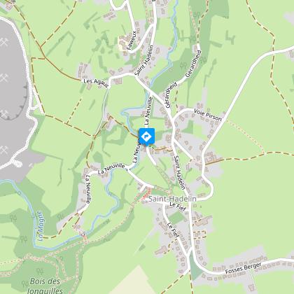
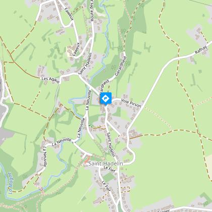
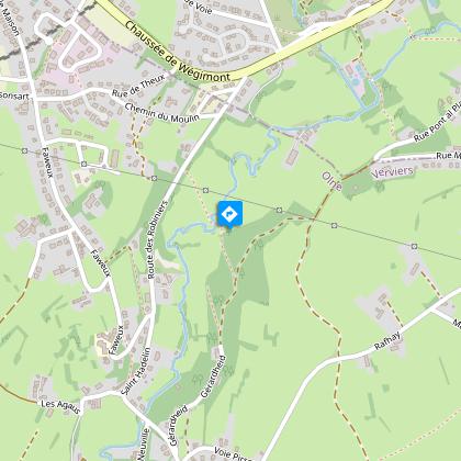
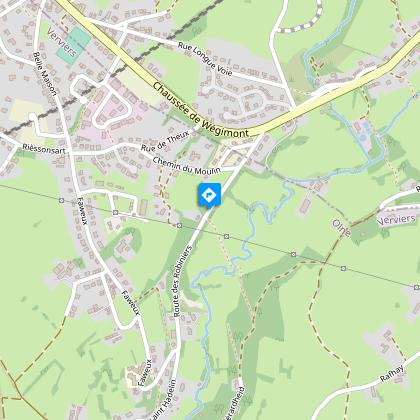
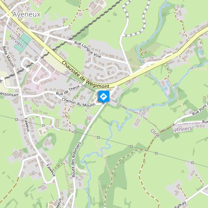
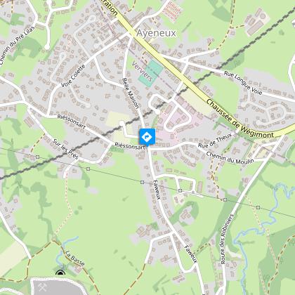
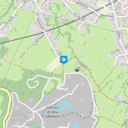
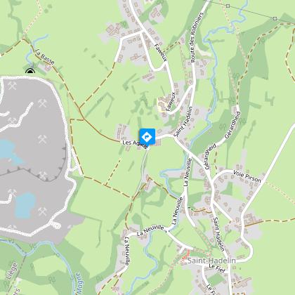
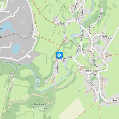
Karte
Schritte
Bewertungen und Rezensionen
In der Umgebung sehen
Saint-Hadelin (Olne) et ses Légendes


Beschreibung
La Neuville, le Fief, l'arbre à clous, Faweux, Belle Maison und Rièssonsart: Orte, die vergessene Legenden hervorrufen. Die Kirche von Saint-Hadelin steht stolz und die Magne schlängelt sich träge durch dieses Weiler.
Folgen Sie der Beschilderung "Rotes Rhombus" (siehe Foto oben). Details des Spaziergangs auf https://www.visorando.com/randonnee-saint-hadelin-et-ses-legendes/
Finden Sie die Route auf der Karte der Wanderwege in der Gemeinde Olne: https://www.paysdeherve.be/produit/olne-11-promenades-balisees
Technische Informationen
Wandern
Schwierigkeit
Einfach
Dauer
1h50mn
Entfernung
5.4 km
Art der Übung
Wandern
Einfach
1h50mn
Mehr anzeigen
Höhenprofil
Ausgangspunkt
Le Fief
,
4877
Olne
Lat : 50.59196Lng : 5.71963
Schritte
Zusätzliche Informationen
Signalétique (DE)
Fußgänger-Raute-rot
Datenautor

vorgeschlagen von
Maison du Tourisme du Pays de Herve
Bewertungen und Rezensionen
In der Umgebung sehen