Warnung
Warnungen
Art der Übung
Wandern
Mittel
3h15mn
Präsentation
Beschreibung
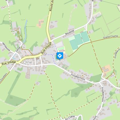
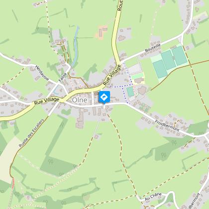
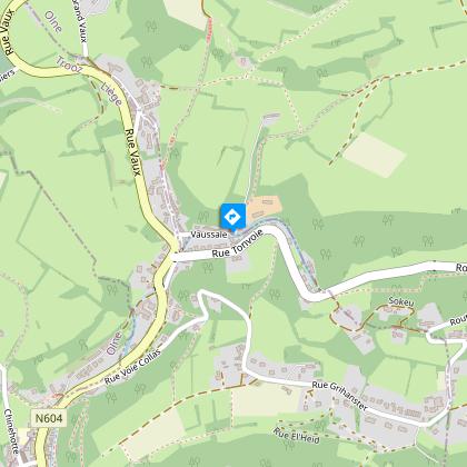
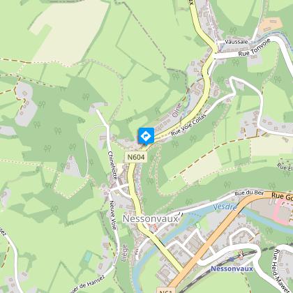
Karte
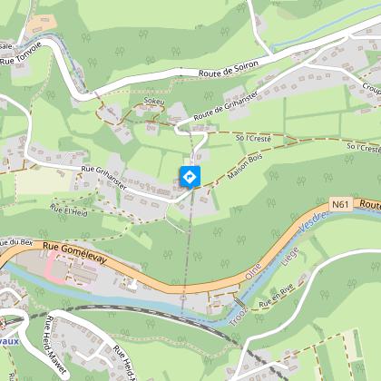
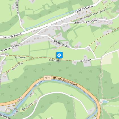
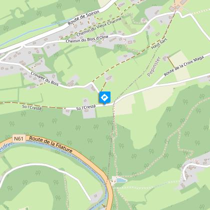
Schritte
Bewertungen und Rezensionen
In der Umgebung sehen
Olne : Die Bergkammwanderung


Beschreibung
Entdeckung von zwei Landschaften: im Norden die Hazienne und das Dorf Olne, im Süden das Tal der Vesder und die ersten bewaldeten Ausläufer der Ardennen.
Folgen Sie der Beschilderung "Gelbes Rechteck" (siehe Foto oben). Details des Spaziergangs auf https://www.visorando.com/randonnee-promenade-des-cretes-par-vaux-et-le-bois/
Finden Sie die Route auf der Karte der Wanderwege in der Gemeinde Olne: https://www.paysdeherve.be/produit/olne-11-promenades-balisees
Technische Informationen
Wandern
Schwierigkeit
Mittel
Dauer
3h15mn
Entfernung
9 km
Art der Übung
Wandern
Mittel
3h15mn
Mehr anzeigen
Höhenprofil
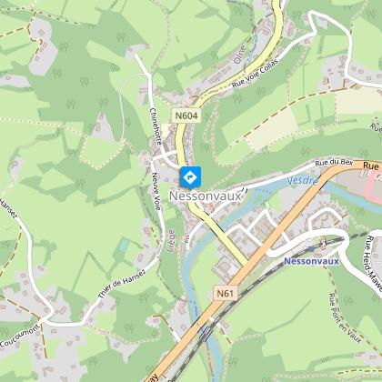
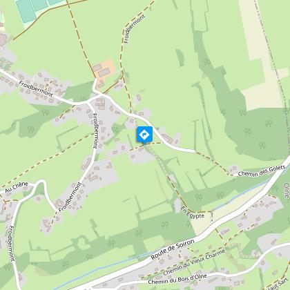
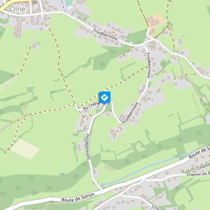
Ausgangspunkt
Chemin des Écoliers
,
4877
Olne
Lat : 50.59031Lng : 5.75283
Schritte
Zusätzliche Informationen
Signalétique (DE)
Fußgänger-Rechteck horizontal-gelb
Datenautor

vorgeschlagen von
Maison du Tourisme du Pays de Herve
Bewertungen und Rezensionen
In der Umgebung sehen