On the trail of the women of the land
Description
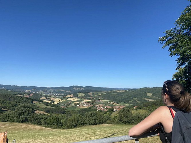
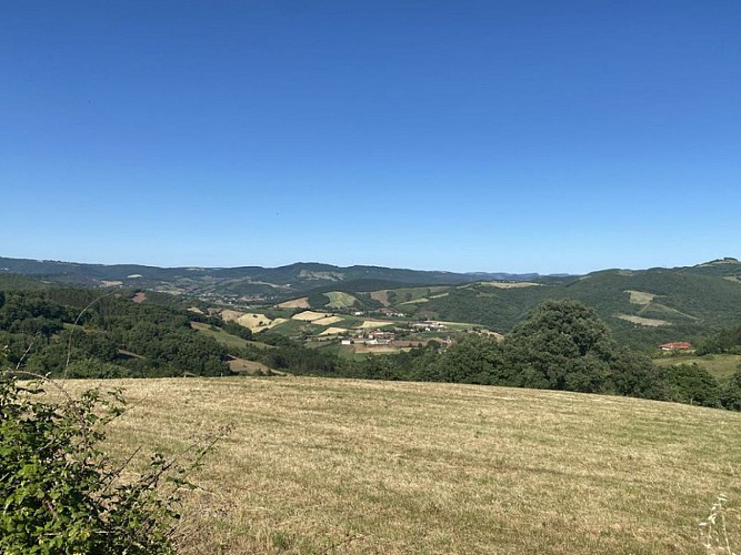
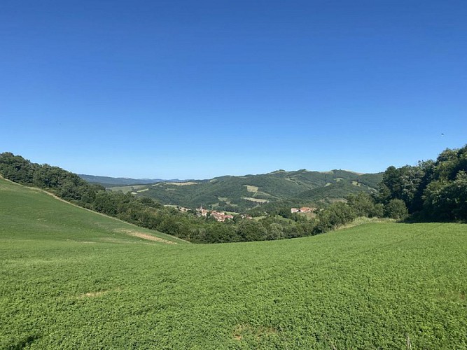
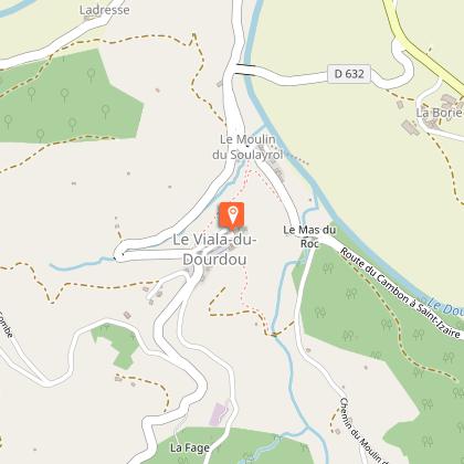
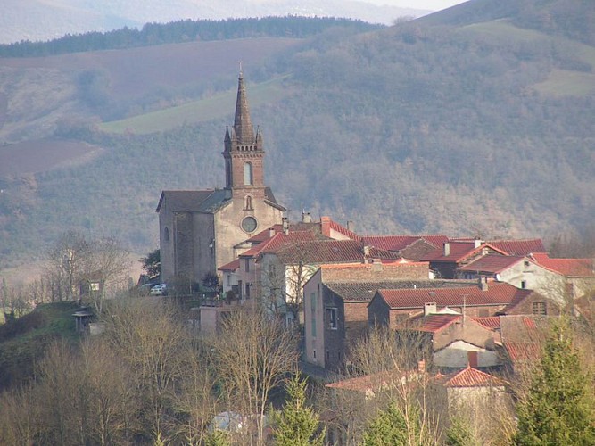
Come and explore the village of the Viala du Dourdou nestled in a verdant setting, you’ll be amazed by the atmosphere of serenity and simplicity that radiates from the placeThese women of the land raised their families, often composed of many children, made bread in the ovens which are still visible today in the village, worked in the steep sloping fields, cared for poultry and took charge of the farms when their husbands were away at war. They handed down their ancestral skills and knowledge (preparing cold cuts, gardening and picking wild plants for their medicinal virtues), invigorated the life of the parish community and made sure that people lived together in harmony. Madame Carriere from the Mas Viala, Rosa from the Borie de Boyer, Marie from the Cagné, Denise, Marthe, La Vayssettoune and la Durante from the Viala, all of these women are well remembered and deserve this tribute.From the car park, walk up the D632 for about 100m and very next to the village hall, take a right turn up a road with hair pin bends. On reaching the reservoir, leave the road taking a right turn onto a grassy footpath. Cross a ravine and leave a path on your right. Walk up to join the road that leads to the Combe.At the intersection, take the path that goes towards the South and that leads to the Mas Viala. On reaching the Mas, carry straight on for about 100 m, then turn left and follow the trail that makes a wide curve to the right and climbs up towards the crest.At the junction of the trails, take right fork along the hill a shady path that meets another trail after 550 m and provides a very nice view over the Gos valley. Follow a hair pin bend to the left and walk down a gentle slope towards the D632.Cross the road and take the path on the opposite side that ascends southward up a slope. At the junction with a small road, take the left turn and follow this road for approximately 600m.Just before the Borie du Boyer, follow the left hand path that goes down towards the valley where you can enjoy the beautiful view. Walk close to the Cagné and after a hair pin curve, leave on your right a path that goes downhill towards the Maxillou stream, and keep going NW, first on the road and then on a trail through woodlands.Follow a wide curve which takes you back onto the road and after a hair pin bend keep straight on towards the village.
Technical informations
7.6 km
|
max. 521 m
min. 337 m
| |||
Altimetric profile
Starting point
Additional information
Departure
as you enter the village
Arrival
as you enter the village
Ambiance
This hiking path will plunge you back into the history of this rural area where landscapes have continuously been shaped by generations of men and women
Access
From the road D999, at the roundabout situated near Vabres-l’Abbaye, take the D25 towards Saint-Izaire. After the hamlet of la Borie, turn left onto the D632, then cross the bridge over the Dourdou river and turn to your left.
Advised parking
as you enter the village
Public transport
Travel by bus or train: lio.laregion.fr/carpooling : BlaBlaCar, Rézo Pouce, Mobicoop, Idvroom, LaRoueVerte, Roulez malin
Advice
Box tree moths are active from May to October. During the caterpillar phase, they feed on the leaves of box trees. They crawl down trees and move on long silken threads, although these threads are annoying when hiking they do not pose any health risk
Data author
